Antelope Canyon Facts
- The truly amazing Antelope Canyon represents yet another visually stunning geological formation in its part of the world. It also, quite understandably, now constitutes an extremely popular tourist destination in its part of the world.
- It further, and again, understandably, represents an extremely popular subject for photographers, both amateur and professional alike. Its unique and impressive physical characteristics make it unlike virtually any other spot of Earth.
- The site does, however, lie in a region consisting of extremely rugged and sometimes hazardous, terrain. This same region also happens to lie on what now constitutes lands belonging to Native Americans of the Navajo Nation.
- Since it also formed on what now represents native Navajo land, Antelope canyon is accessible only by guided tours. This fact, however, serves to provide the site with a certain measure of protection against the potential ravages of humans.
- This requirement further serves to ensure the safety of visitors to the natural marvel. During the rainy season, sporadic flash floods occur in the area. These have a tendency to arrive without warning, converting the passageways into a severe danger zone.
Antelope Canyon Physical Description
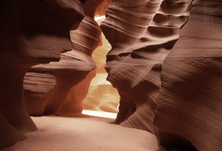
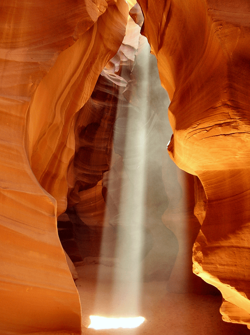
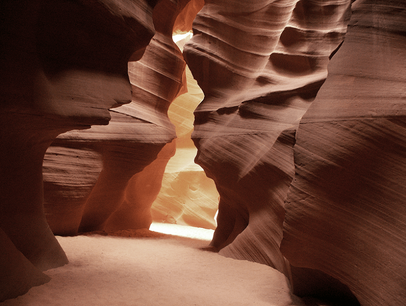
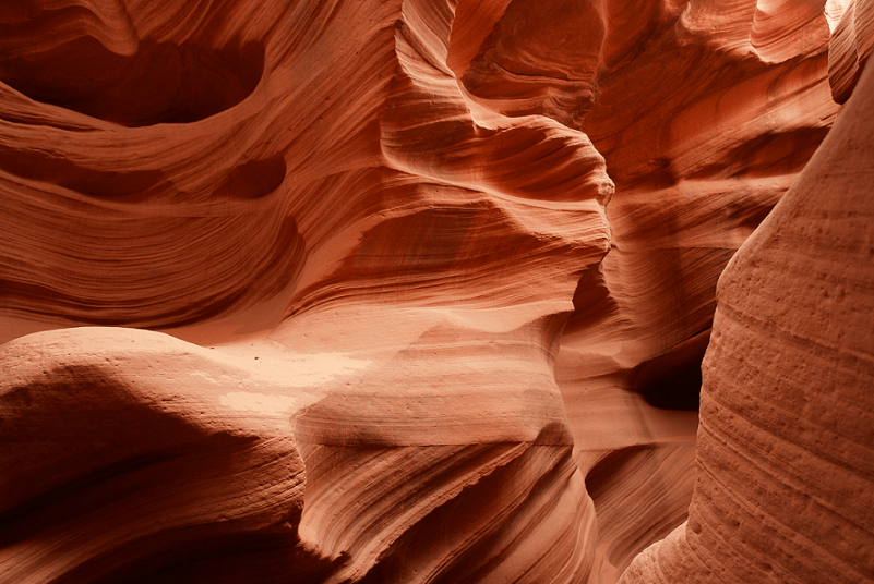
The mind-boggling Antelope Canyon truly dazzles the eye and befuddles the min of those who experience it firsthand. The formation does not do so, however, due to it sheer physical size, but because of the incredible nature of its physical structure.
Quite surprisingly, perhaps, the site manages to compress all this stunning beauty and distinctiveness into a relatively small structure. More precisely, this wonder of geological and meteorological forces only has a total length measuring roughly 1,9995 ft (607 m).
This becomes further impressive when one realizes that the incredible Antelope Canyon actually comprises two distinct sections. That very statistic helps to immediately distinguish it from the vast majority of other canyons situated around the world.
The first section bears the original Navajo name of Tsé bighánílíní, which roughly translates to the place water runs through rocks. The second section meanwhile, holds the original name of Hazdistazí, which roughly means Spiral Rock Arches, in English.
Antelope Canyon Location, Formation, and Hazards
The awesome splendor of Antelope Canyon formed in a part of the world well respected for its extreme geological beauty. That’s due to the fact that this site was molded by forces in what now constitutes the state of Arizona, in the United States, in North America.
Somewhat surprisingly, this particular canyon does not owe its formation to any volcanic or earthquake activity. This fact alone serves to even further distinguish it from the great majority of remarkable geological formations in this area of the continent.
To the amazement of some, long-term erosion of the native Navajo sandstone in the region formed the canyon into two distinct sections. This occurred over the course of thousands of years, primarily due to the flash floods the region remains prone to.
Also, a secondary erosive effect was that of desert winds funneling through the slot canyon throughout the years, with powerful force. Such occasionally forceful winds continue to affect the site sporadically, along with further flash flooding.
These continue to pose a danger in Antelope Canyon, even though safety measures exist. The U.S. Weather Service has a warning siren in place at the point where tours enter the canyons. But the flow rate of such floods through the two sections is unpredictable.
On August 12, 1997, prior to the installation of the siren, 11 tourists lost their lives in a flash flood in the Lower Canyon. No rain was falling at the site, but a locally heavy thunderstorm upstream dumped enormous quantities of water into the canyon in a matter of minutes.
https://www.tiktok.com/@streetshot8888/video/7179689001245265198


